
LiDAR as-built scanning & point cloud surveys in Utah
LiDAR as-built scanning captures an existing building as millions of laser measurements — a point cloud accurate to fractions of an inch — then turns that data into floor plans, elevations, and 3D models you can actually design from. Grandview scans homes, commercial buildings, and structures across Utah County and Salt Lake County and delivers files your architect, engineer, or fabricator can open the same week.
Who hires us to scan a building
Most of our scanning clients are owners about to spend real money on an existing building — and missing the one thing every designer asks for first: accurate drawings of what’s there now.
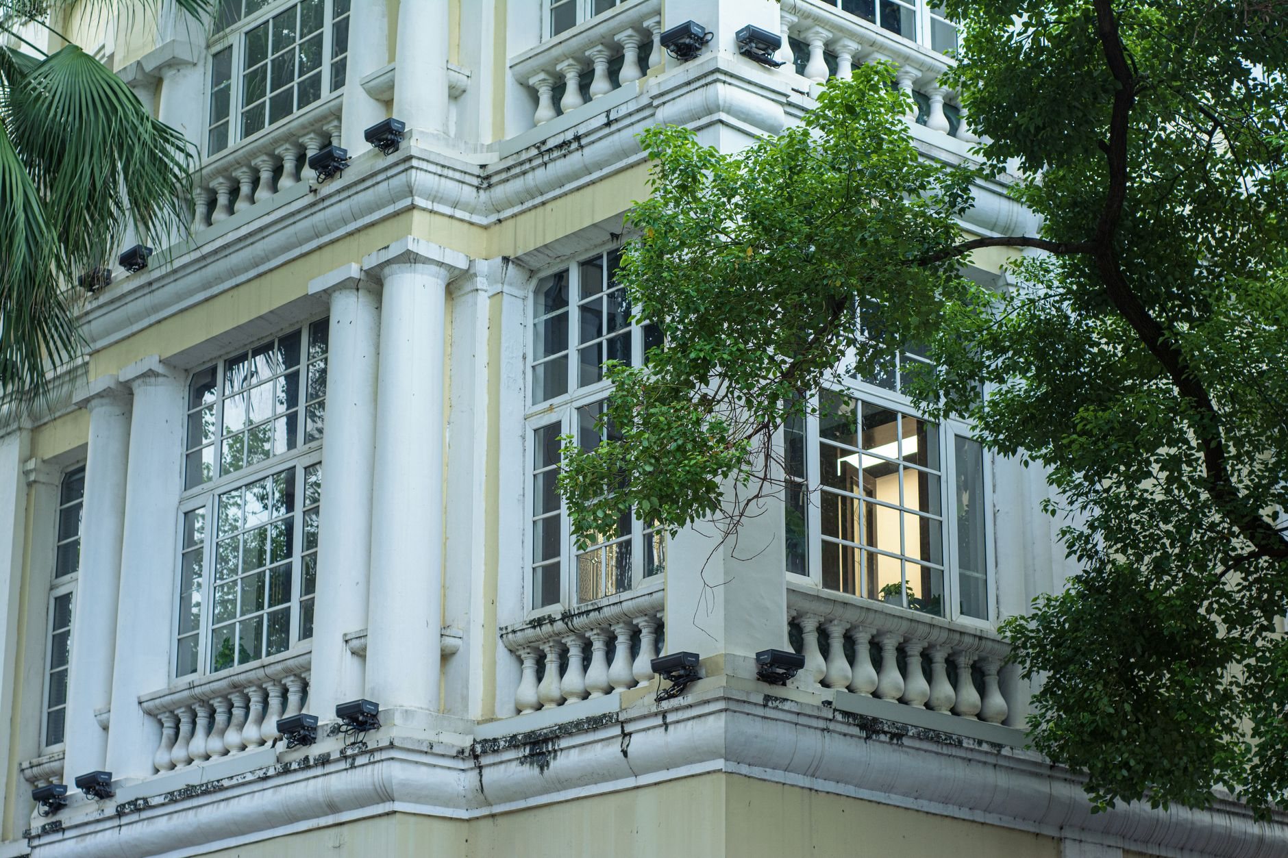
Homeowners planning a home addition or whole-home renovation hire us when the original plans are gone, or when three previous owners remodeled without updating anything on paper. That’s common along the Wasatch Front: much of the housing stock in Provo, Orem, and Salt Lake City predates digital permitting, and decades of undocumented remodels mean the house on file at the city rarely matches the house you own. Good work should not require detective work — a scan replaces guesswork with measurement.
Commercial owners and property managers use scans to document buildings for tenant improvements, lease exhibits, and capital planning. Architects and engineers bring us in when a project needs verified existing conditions before design starts. And fabricators building steel stairs and railings into existing structures use scan data so parts are cut to the building that exists, not the building the old drawings describe.
When do you actually need a LiDAR scan?
You need a scan when design, engineering, or fabrication decisions depend on dimensions you can’t verify — missing plans, plans that don’t match reality, complex geometry, or tolerances tighter than a tape measure can hold. If a wrong measurement would mean redrawn plans, remade parts, or a failed fit, a scan costs less than the mistake it prevents.
The typical triggers we see in Utah:
- An addition or major remodel to a home with no surviving plans
- A tenant improvement in a building whose as-builts are decades out of date
- Steel stairs, railings, or mezzanines that must fit an existing structure precisely
- Seismic evaluation or retrofit work, where the engineer needs accurate existing geometry — a real consideration this close to the Wasatch fault
- Documenting floor settlement or out-of-plumb walls before repair — on the expansive clays and collapsible bench soils common here, a scan quantifies exactly how far a floor has moved, not just that it feels off
- A pre-construction record of existing conditions before demolition or adjacent excavation
When you don’t need one: a simple like-for-like remodel in a small, regular room. We’ll tell you when a tape measure and an hour of field notes will do the job — scanning is the right tool often, not always.
What deliverables come from a scan, in plain terms
A LiDAR scan produces three tiers of deliverables, and you only pay for the tiers you need. The raw product is the point cloud; everything else is drafted from it.
The point cloud. The scanner records millions of individual laser measurements from multiple tripod positions; we register those positions together into one coherent 3D dataset. You receive it in standard formats (E57, or RCP for Autodesk software) that any current design office can open. Think of it as a measurable 3D photograph of your building — every wall, beam, pipe, and window, in true position.
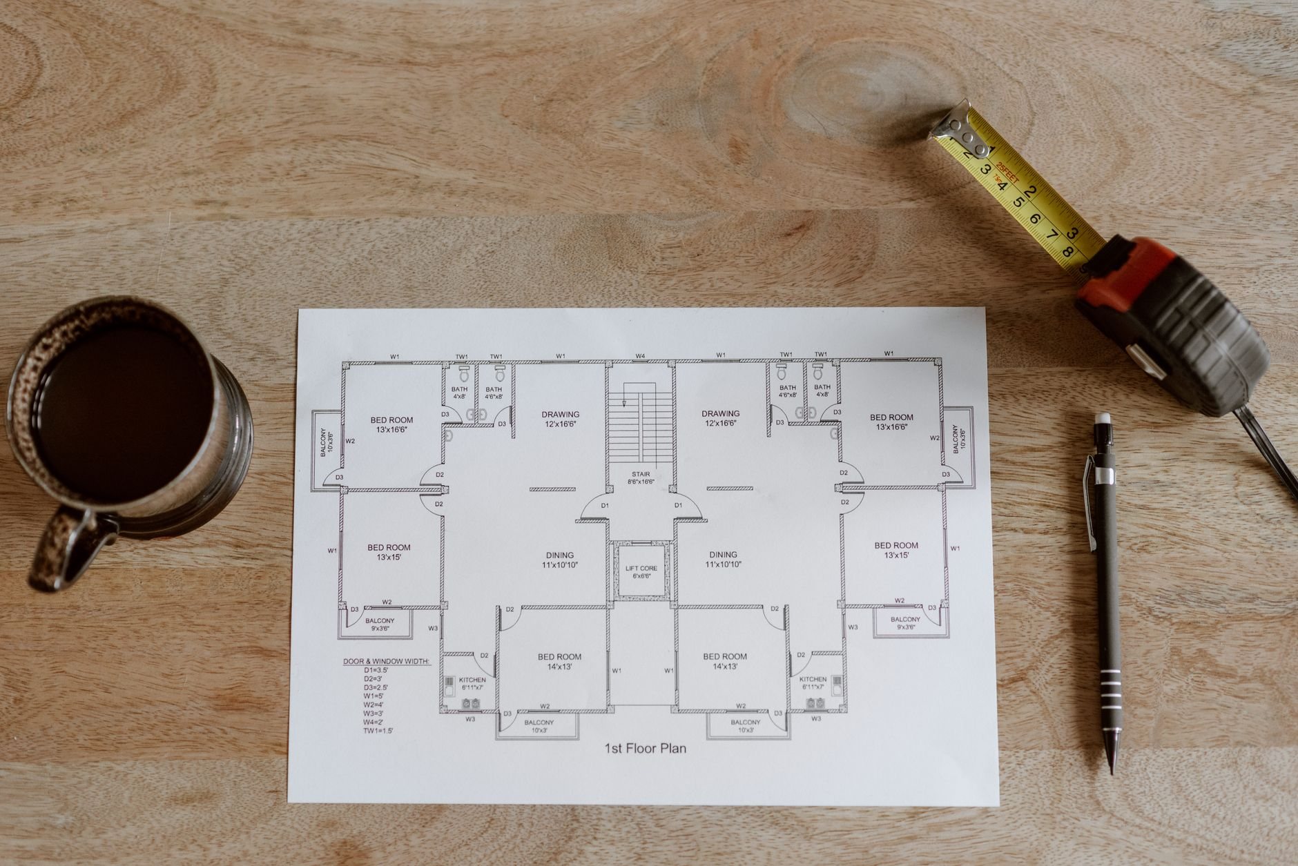
2D as-built drawings. Floor plans, elevations, sections, and reflected ceiling plans drafted from the point cloud in CAD (DWG) and PDF. This is what most residential and light-commercial projects actually need: clean, dimensioned drawings an architect or city plan reviewer can work from.
A 3D model. For projects designed in Revit or another BIM platform, we model the existing building from the cloud — walls, floors, roof, structure, and as much mechanical detail as the project warrants. Level of detail is a scoping decision, and it’s one of the biggest cost levers, so we pin it down with you before anyone models anything.
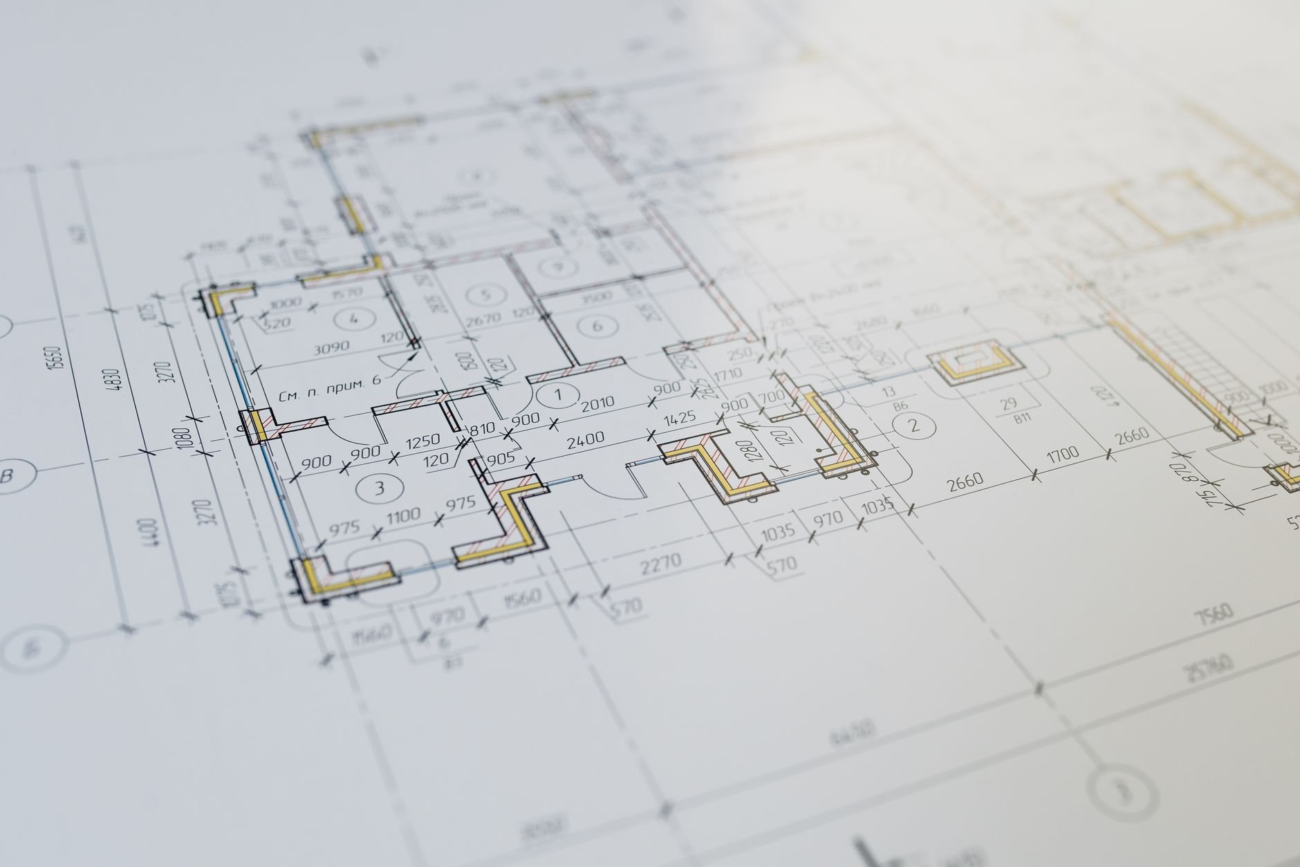
Every deliverable states its accuracy basis, and you own the files outright — no proprietary viewer, no subscription to see your own building.
How a scanning project runs
- Scope. A short call or walkthrough. What decisions will this data feed? That answer sets the scan area, the accuracy target, and the deliverable list — and keeps you from paying for detail nobody will use.
- Scan day. We set up the scanner at planned positions through the building and site. Most homes take a few hours; larger commercial buildings take a day or more. The work is quiet and non-destructive, and the building can stay occupied.
- Registration and QC. Back at the desk, we stitch the individual scans into one aligned point cloud and check it against control measurements. If a corner of the building needs a re-shoot, we catch it now, not after drafting.
- Drafting or modeling. We produce the 2D drawings or 3D model agreed in scoping, drafted from the cloud rather than from memory or assumption.
- Delivery and handoff. You get the files, and we walk your architect, engineer, or contractor through them. If Grandview is also building the project, the data flows straight into our preconstruction work.
How accurate is a LiDAR scan?
Modern terrestrial scanners measure individual points to within a few millimeters, and a properly registered whole-building dataset typically holds tolerances around an eighth of an inch — far tighter than tape-and-clipboard field measuring, and consistent across the entire building rather than accurate in one room and drifting in the next. For fabrication-critical dimensions, we verify key measurements with independent checks.
Accuracy is only half the story; the other half is completeness. A field-measure visit records the dimensions someone thought to take. A point cloud records everything in view, so when the structural engineer asks a question nobody anticipated — how far out of plumb is that wall, what’s the clear height under that beam — the answer is already in the data. No return visit, no scheduling another walkthrough of an occupied building.
What does as-built scanning cost in Utah?
For ballpark planning only: scanning a typical Utah home and delivering 2D as-built floor plans and elevations usually lands in the low thousands — often $1,500 to $4,000 depending on size and deliverables. Commercial scan-to-CAD work is commonly priced per square foot, frequently in the $0.10 to $0.40 range, with full BIM modeling costing more. Every project gets a fixed quote before we scan.
What moves the number:
- Deliverable tier. Point cloud only is cheapest; 2D drawings sit in the middle; a detailed BIM model is the most drafting labor by far.
- Size and complexity. Square footage matters less than geometry. A rectangular warehouse scans fast; a century-old Provo home with additions from three eras takes more scanner positions and more drafting judgment.
- Level of detail. Structure-only versus every pipe, duct, and conduit. Mechanical-heavy spaces can double modeling time.
- Access and occupancy. Cluttered, occupied, or after-hours-only spaces slow scan day.
- Exterior and site scope. Adding facades, grades, and site features extends field time — worth it when an addition or drainage fix depends on them.
One honest note on sequencing: scanning is cheap insurance early and expensive regret late. The worst time to discover the old drawings were wrong is after permits are issued and steel is ordered — and in fast-growth cities like Lehi and Saratoga Springs, where plan review queues are real, a redesign can cost you a permitting cycle, not just drafting fees.
Questions we actually get
Can you scan an occupied home or business?
Yes. Scanning is quiet, non-destructive, and doesn’t require moving out — we work around furniture, staff, and customers, and can schedule after-hours for businesses that need it. The one real constraint: whatever blocks the scanner’s line of sight doesn’t get captured, so we’ll ask you to clear critical walls and corners before scan day.
Will my architect or engineer be able to use the files?
Yes. We deliver in the formats design offices already use: E57 and RCP point clouds, DWG drawings, PDF sets, and Revit models when BIM is scoped. Before we scan, we’ll confirm formats and modeling standards with your design team directly, so the handoff is a file transfer rather than a translation project.
Is a LiDAR scan the same as a property survey?
No, and the distinction matters. A boundary or ALTA survey establishes legal property lines and must come from a licensed land surveyor — we don’t do that, and a point cloud can’t replace it. LiDAR as-built scanning documents physical buildings and site features for design, engineering, and construction. Many projects need both; they answer different questions.
How long until I have drawings in hand?
Field scanning takes hours to a couple of days depending on the building. Registered point clouds are usually ready within a few business days; 2D as-built drawings typically follow in one to three weeks, and BIM models take longer depending on detail level. We commit to a delivery date in the proposal, matched to your design schedule.
What drives the cost more — the scanning or the drafting?
Usually the drafting. Field capture is efficient; turning millions of points into drawings or a model is skilled labor that scales with the detail you order. That’s why we scope deliverables carefully up front — a point cloud plus targeted 2D drawings often serves a renovation perfectly well at a fraction of full-BIM cost.
Do you only scan buildings you’re going to build in?
No. Scanning is a standalone service — plenty of clients take the deliverables to their own architect or contractor, and that’s fine. That said, when Grandview also runs the construction through our design-build or renovation teams, the scan data feeds directly into estimating and fabrication, which is where it earns its keep twice.
Where scanning fits in a bigger project
As-built scanning is one of the scopes in our specialty family, and it front-loads certainty into almost everything else we build. Scan data feeds our design-build and estimating work, gives structural steel and welding projects exact existing geometry to fabricate against, and takes the measured-wrong risk out of renovations in older buildings. Grandview is a licensed Utah general contractor — verify our B100 license at dopl.utah.gov — so the company that scans your building can also be the one accountable for building what the scan enables.
Get accurate as-builts before you design
Tell us about the building, what you’re planning for it, and what drawings exist today. We reply within a couple of hours during business hours — a day at most — with a straight recommendation on scan scope, deliverables, and a fixed price.